


2022-07-21_11h56m06_Dauph_26 Pas de l'Olan

Surfou
User
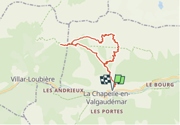

Length
17.6 km

Max alt
2700 m

Uphill gradient
1790 m
Km-Effort
41 km

Min alt
1103 m

Downhill gradient
1790 m
Boucle
Yes
Creation date :
2022-07-21 09:56:06.649
Updated on :
2022-07-24 08:49:32.626
9h25
Difficulty : Very difficult

FREE GPS app for hiking
 SityTrail
IGN / Geographical institutes
SityTrail Plus
The world is yours!
About
Trail Walking of 17.6 km to be discovered at Provence-Alpes-Côte d'Azur, Hautes-Alpes, La Chapelle-en-Valgaudémar. This trail is proposed by Surfou.
Positioning
Country:
France
Region :
Provence-Alpes-Côte d'Azur
Department/Province :
Hautes-Alpes
Municipality :
La Chapelle-en-Valgaudémar
Location:
Unknown
Start:(Dec)
Start:(UTM)
278656 ; 4966824 (32T) N.
Comments